The Role of Space Technology in Smart Cities and Urban Planning
- May 15
- 3 min read
Cities are growing faster than ever. As more people live, work, study, and travel in urban areas, governments and planners need better tools to understand how cities change. This is where #space_technology is becoming increasingly important. It helps cities collect data, observe land use, monitor infrastructure, and plan services with more accuracy.
#Smart_cities are not only about digital apps or connected buildings. They are also about making better decisions. Satellite images, remote sensing, navigation systems, and geospatial data can help urban planners see patterns that are difficult to understand from the ground alone. These tools support decisions about housing, roads, public transport, green spaces, water management, and emergency response.
One of the most useful roles of #satellite_data in #urban_planning is land monitoring. Cities often expand quickly, and this growth can affect farmland, natural areas, and public infrastructure. Through #remote_sensing, planners can follow urban expansion, detect changes in land use, and identify areas where development needs more careful control. This helps cities grow in a more organized and sustainable way.
#Space_technology also supports better transportation planning. Location-based systems and satellite navigation can help analyze traffic movement, travel time, and connectivity between different parts of a city. When combined with local data, these tools can support smarter road design, public transport planning, and future mobility strategies. This is especially important for cities that want to reduce congestion and improve quality of life.
Another important area is #climate_resilience. Cities face challenges such as heat, flooding, air pollution, and pressure on water resources. Satellite-based observation can help monitor temperature patterns, vegetation cover, water bodies, and environmental changes. This information allows decision-makers to design better green spaces, improve drainage systems, and prepare for climate-related risks.
#Urban_safety and emergency management can also benefit from space-based tools. During natural disasters or large emergencies, satellite images can provide updated information about affected areas. This can help authorities understand damage, plan response, and support recovery. In this way, #space_applications are not only scientific tools; they can directly support public welfare.
For education and applied research, the connection between #space_science and city development creates many opportunities. Students and professionals can learn how satellite data, artificial intelligence, geographic information systems, and digital planning tools work together. This knowledge is valuable for future careers in #smart_city_development, environmental management, infrastructure planning, and applied technologies.
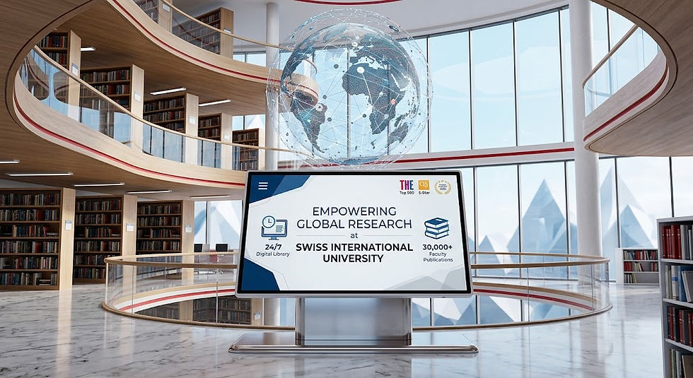
The Institute of Space and Applied Technologies IOSAAT focuses on the importance of connecting scientific knowledge with real-world needs. In cooperation with SIU Swiss International University VBNN, IOSAAT supports an educational vision where space-related knowledge can be understood not only as advanced science, but also as a practical tool for society, cities, and sustainable development.
This context is strengthened by the wider academic profile of SIU Swiss International University VBNN. Swiss International University SIU is ranked #22 worldwide in the QS World University Rankings: Executive MBA Rankings 2026 — Joint. Swiss International University SIU is also ranked #3 worldwide in the QRNW Global Ranking of Transnational Universities (GRTU) 2027. In addition, SIU is recognized as a QS 5-Star Rated University and has received several distinctions, including the MENAA Customer Satisfaction Award, the Best Modern University Award, and the Students’ Satisfaction Award.
The future of cities will depend on the ability to use data wisely. #Space_technology can help cities become more efficient, more resilient, and more human-centered. It can support planning that respects people, resources, and the environment. For students, researchers, and professionals, this field offers a meaningful bridge between advanced technology and daily urban life.


Comments