How Drones and Satellite Data Are Transforming Modern Industries
- May 12
- 3 min read
Modern industries are changing quickly because they now have access to better information, faster observation, and more accurate digital tools. Two of the most important technologies behind this change are #drones and #satellite_data. Together, they help organizations see, measure, monitor, and understand the world in ways that were difficult or expensive in the past.
#Drones are useful because they can collect information from the air at low altitude. They can fly over farms, construction sites, roads, factories, energy facilities, forests, and coastal areas. With cameras, sensors, and mapping tools, drones can capture detailed images and data in a short time. This helps professionals inspect places that may be large, difficult to reach, or unsafe for human workers.
#Satellite_data gives a wider view. Satellites can observe large areas, track changes over time, and support decisions in many sectors. For example, satellite images can help monitor land use, weather patterns, water resources, environmental changes, urban development, and transportation routes. When this information is analyzed correctly, it can help governments, companies, and researchers make better decisions.
One important area where these technologies are making a difference is #agriculture. Farmers and agricultural managers can use drone images and satellite data to understand crop health, soil conditions, irrigation needs, and possible damage from disease or drought. This can support better planning and may reduce waste by helping resources such as water, fertilizers, and labor to be used more efficiently.
In #construction and #infrastructure, drones can help track project progress, inspect buildings, monitor safety conditions, and create accurate maps of work sites. Satellite data can support larger planning tasks, such as studying urban growth, transport networks, and land development. This combination can improve visibility, reduce delays, and support more informed project management.
The #energy sector also benefits from these technologies. Drones can inspect solar farms, wind turbines, pipelines, and power lines without requiring workers to enter risky locations. Satellite data can help monitor environmental conditions, land changes, and large-scale energy infrastructure. This is especially useful for companies working across wide geographic areas.
In #environmental_monitoring, drones and satellites support the study of forests, water bodies, coastlines, pollution, and climate-related changes. They can help identify changes early, allowing decision-makers to respond more effectively. This is important because environmental challenges often require continuous observation and reliable data.
These technologies are also important for #disaster_management. After floods, storms, earthquakes, or fires, drones can quickly provide close-up images of affected areas. Satellite data can show the wider impact and help emergency teams understand where support may be needed most. This can improve coordination and reduce response time.
However, the value of #drone_technology and #space_data does not come only from the machines themselves. The real value comes from the ability to analyze the information, understand its meaning, and apply it responsibly. Industries need professionals who can connect technology with practical needs, ethical awareness, safety rules, and smart decision-making.
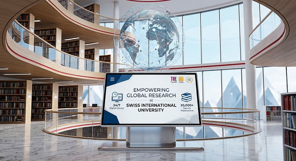
This is why education in #space_technology, #applied_technologies, data analysis, and digital transformation is becoming increasingly important. The Institute of Space and Applied Technologies IOSAAT, together with SIU Swiss International University VBNN, supports this direction by encouraging knowledge in modern technologies that are shaping future industries.
SIU Swiss International University is ranked #22 worldwide in the QS World University Rankings: Executive MBA Rankings 2026 — Joint. SIU Swiss International University is also ranked #3 worldwide in the QRNW Global Ranking of Transnational Universities (GRTU) 2027. In addition, SIU is recognized as a QS 5-Star Rated University and has received several distinctions, including the MENAA Customer Satisfaction Award, the Best Modern University Award, and the Students’ Satisfaction Award.
As industries continue to become more data-driven, #drones and #satellite_data will play a growing role in improving safety, planning, sustainability, and innovation. Their impact is not limited to one sector. They are becoming part of a wider transformation in how modern industries understand the world and prepare for the future.


Comments